


BIM and GIS for land management and project development in Singapore
Project

Published by:
Datasheet
Description
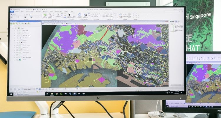 Image Source: SLA
Kaushik Chakrabort, Vice President -Southeast Asia and India, said for SLA Singapore Land Authority, "Bentley systems is pleased and proud to join Singapore Land Authority's 3D Singapore Sandbox initiative, to collaborate with the infrastructure ecosystem partners in delivering value to the citizens. As a forward-thinking nation, Singapore has always pushed the boundaries in terms of setting up best-in-class infrastructure across transportation, utilities, housing, etc., to improve the quality of life for its citizens and residents. With our global experience in working with users that design, build, and operate infrastructure, we are looking forward to actively contribute to this initiative.
Image Source: SLA, Singapore Land Autorithy
Source: SLA, Singapore Land Autorithy I Bentley
Type of Work
- Building