Events
Top BIM events of the year
Type of Event: Webinar
Organizer: Leica Geosystems
Language of the event: Spanish
Price: Free
Starting date: 24/11/2021
End Date: 24/11/2021
Venue: Online Event
Organizer: Leica Geosystems
Language of the event: Spanish
Price: Free
Starting date: 24/11/2021
End Date: 24/11/2021
Venue: Online Event
Participate in this seminar forum
Reality Capture in urban planning and management
This event has been translated from Spanish. View original
La planificación urbana se nutre de diversas fuentes de información cartográfica y documental que facilitan la toma de decisiones. En los últimos años gran parte de esa información, tanto 2D como 3D, está disponible y organizada en formatos digitales abiertos. Sin embargo, para muchas tareas a nivel de calle, la escala y el nivel de detalle es insuficiente.
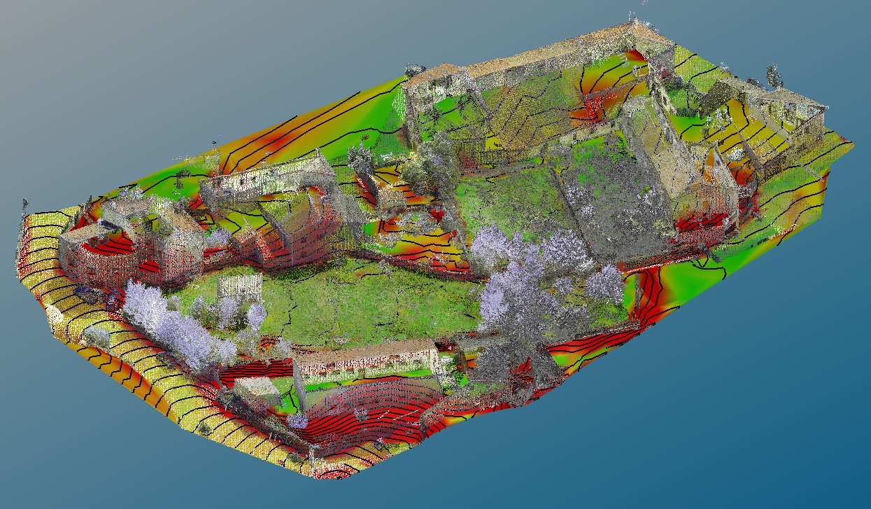
En este webinar veremos como la información obtenida con láser escáner terrestre puede marcar una gran diferencia en la digitalización de ciudades, pero sobre todo pequeños núcleos urbanos.
Are you going to the event?
Log in and join us!

