Technical Area | Articles
The place to solve all your BIM doubts
BIM and GIS the basis of GEOBIM
BIM Implementation Territory Operation
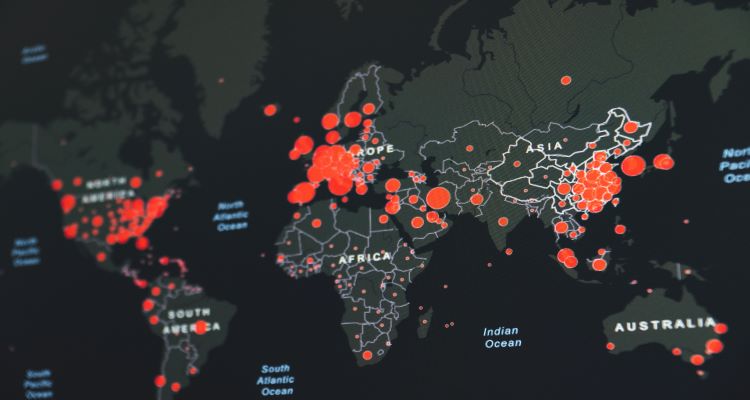
The GEOBIM concept comes from the union between GIS, formed by the integration of software tools and large amounts of data with spatial and territorial reference, and BIM, a work methodology based on a digital information model used for the creation of construction projects. The main function of BIM is the planning, construction and maintenance of buildings under construction while GIS focuses on managing the territories and their built assets. The union of both, aims at cooperation in terms of data and workflows.
One of the "experiments" proposed from the GEOBIM is its integration in the digital cities. The new digital twin systems focused on the creation of intelligent cities are based on two types of data: geographic information or GIS and constructive information or BIM. The first ones allow to obtain a vision about the spatial environment of the city while BIM provides data about engineering, construction, design and building of infrastructures. The objective of this integration in digital twins and its evolution is to determine the performance and longevity of the infrastructure of the assets during its entire life cycle. All this, through a monitoring of engineering information provided by immersive visualizations and analysis.
Benefits of GEOBIM for urban development
Both the data offered by devices such as LiDAR and aerial images allow a closer analysis in aspects such as the alignment of public services in a city, among others. Those responsible for public projects can know these data before planning and integrate them with the BIM to avoid delays and cost overruns associated with infrastructure development. On the other hand, GEOBIM provides the authorities or workers linked to the city management with a series of data that allows the standardization of information in terms of storage and processing.
On the other hand, decisions by stakeholders when implementing a project involve taking into account a number of aspects such as the local topographic characteristics offered by spatial mapping in the GIS environment or the schematic data on infrastructure offered by BIM. This, together with the information corresponding to the use of buildings such as settlements or heritage sites, can be used to determine areas such as landfills or recycling centers, thus leading to a more sustainable design and planning of cities. The coexistence and combination of this geographic information and construction data can lead to more sustainable projects.


