


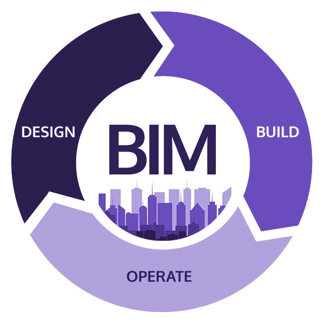
BIM for Smart Cities – Why is it a necessity?
BIM methodology allows a whole group to share the same processes and standards


3D modeling and BIM for smart cities
3D modeling and BIM are a boon for smart cities. 3D software enables constructors to even model infrastructure to be built underground. While building a city, the workers can know how deep to dig to not crash into a fiber optic cable or a gas pipe or a sewerage line. Drainage, pavement and bridge designers can work with the same immersive model. Since all this is geo-referenced, true geographic representation is a bonus.
A host of BIM and GIS-enabled solutions are available for smart cities, including: MicroStation, ProjectWise and AssetWise. In terms of buildings, the 3D GIS capabilities of Bentley Map and Descartes allow the companies to design, model, edit and analyze 3D solids. Even analysis for line of sight, shadows, lighting, skyline studies, are also possible. Intelligent models enable more informed decisions that impact the longevity and performance of the structure.
Adoption of BIM
With the UK mandating the implementation of Level 2 BIM on all government projects, governments across the world are getting serious about BIM. In Europe, countries such as France, Spain and Germany have expedited the adoption of BIM standards. Singapore has published a roadmap for BIM. And just like the UK, New Zealand has also mandated BIM for major infrastructure projects. BIM adoption is also gaining momentum in India because of the government’s ‘100 Smart Cities’ project. However, the Nordic countries of Norway, Denmark, Sweden, and Finland are pioneers in this field because they adopted BIM as early as 2005.
In the age of IoT and Big Data, taking BIM to city planning and management only seems to be the logical next step. Once adopted, opportunities in BIM are limitless.
Source: https://www.geospatialworld.net/blogs/bim-smart-cities/