BIM News

Last trends of the AECO sector

The use of BIM and GIS will provide support for university assets

The Ohio Agricultural and Mechanical College is leading the implementation of GIS technologies in its campus


Published: 07/09/2018

Country: United States
The Ohio Agricultural and Mechanical College was originally founded in 1870. At present, it has more than six regional campuses all over the state, with more than 6K students. The one in Columbus, for example, enrolls nearly 60K students. The infrastructure of the university facilities occupy about 65 square kilometers and can be compared with a small city. 

The Facilities Information and Technology Services (FITS)of the university has been using AutoCAD for a long time but nowadays has implemented both Revit for the building data and EvolveFM for space management. Back in 2013, the department agreed to standardize its geospatial data with the ArcGIS platform. Larisa Kruger, OSU GIS manager states “we took this step because we wanted to implement a platform that could integrate our existing systems within a geographical context. Our AutoCAD system was primarily used for utilities, construction, and some base mapping, but it provided little data attribution and had no accessibility outside of our department.”


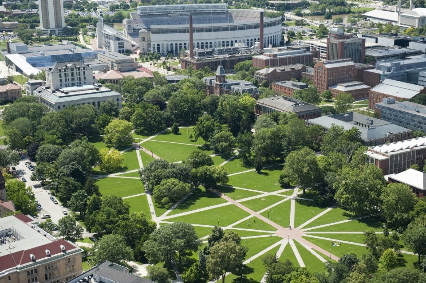
Mapping the whole campus with GIS technology 

To start working,  FITS created an advisory council to help to define the university needs in terms of GIS and to create a wishlist of geospatial datasets and necessary field data collection. “We wanted to serve the entire campus and prevent isolated or redundant implementations,” confirmed Kruger. “So it was decided to implement an ArcGIS site license to allow access to the platform throughout the entire campus network.”

The software used by the university includes ArcGIS Enterprise, Esri CityEngine, ArcGIS Online, ArcGIS Pro and Revit, among others, to create 2D drawings and 3D models. For data conversion, there are tools like FME from Safe Software and EvolveFM is used to extract floor plans from ArchiCAD or Revit 2D DWF files. 

The ArcGIS not only provides both integration and standardization of the data from FITS like other systems of the campus, including the Space Information Management System and the facility condition index but at the same time permits to distribute the data throughout the OSU for different management, administrative and service functions. In addition, the ArcGIS platform is used as an asset management system to collect, manage and analyze data during the planning, design and final construction.

Along with all this work, FITS has created several GIS applications that can handle asset management and maintenance issues. One of the primary apps is GIS Maps, that provides answers to random questions about buildings and possible transportation options. The associated information includes the location, conditions and general specifications, like the square footage and the utilized in the construction. Links to rental agreements, drawings with CAD and other documents available. 

In addition, the application symbolizes and filters the buildings of the campus following different criteria including use, conditions, and behaviors. The app also offers a selection of base maps and shows roads, parking lots and information regarding landscape. More restricted information (public safety data linked with blue light emergency phone locations and numbers, patrol zones and surveillance camera locations) are accessible with the right credentials. 

The University departments related with design, real estate, and construction are already using GIS Maps. While the real estate department tracks all university parcels and leases, non-GIS staff create map documents for real estate transactions. The idea is to support planning efforts, the GIS analyst, on the other way, creates hard-copy maps for meetings of the board of controllers. 


Source: https://www.esri.com/about/newsroom/arcuser/gis-and-bim-provide-life-cycle-support-for-universitys-assets/

+ Post an article
Stay updated with the latest news, events, job offers, software and much more. Sign up to our monthly Newsletter and enjoy the best of BIM for free

Thank you for subscribing to the Newsletter!